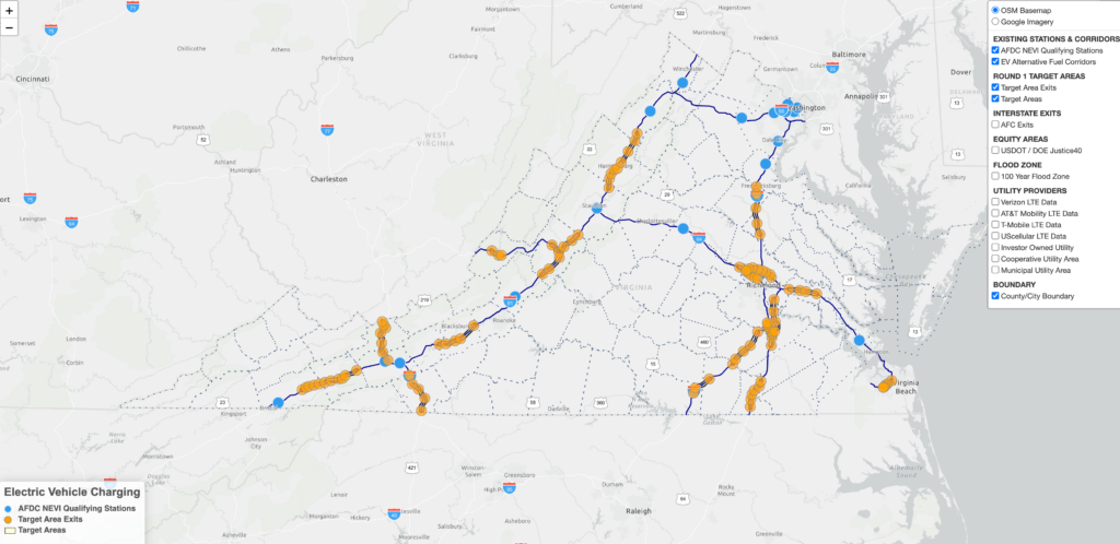
VDOT has unveiled the National Electric Infrastructure (NEVI) GIS Mapping Tool in prior to the Phase I Request For Applications to administer FY22 & FY23 NEVI Formula funding.
The GIS Mapping Tool serves as a helpful resource for assessing the suitability of sites for proposed EV charging stations according to the NEVI Formula Program Guidance. However, it does not guarantee the selection of any specific exit or site. The map provides essential information concerning site location, its proximity to a target exit within a 1-mile radius, distance from a Justice40 area, the likely utility provider, cellular network availability and its proximity to 100-year flood zone areas.
To access the GIS mapping tool and explore additional resources, please visit https://publicinput.com/VirginiaNEVI.